Arunachal: Khangri glacier mission records key scientific gains amid extreme conditions
The mission, jointly led by the Centre for Earth Sciences & Himalayan Studies (CESHS) and the National Centre for Polar and Ocean Research (NCPOR), focused on tracking glacier behaviour, climate impacts, and water-resource patterns in the eastern Himalaya — an area considered highly sensitive to warming trends.
- Nov 15, 2025,
- Updated Nov 15, 2025, 6:19 PM IST
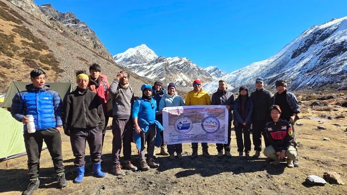
A high-altitude research team working in Arunachal Pradesh has reported major scientific gains after completing the 4th Khangri Glacier Scientific Expedition, carried out from November 8–14 in the Mago Basin of Tawang district.
The mission, jointly led by the Centre for Earth Sciences & Himalayan Studies (CESHS) and the National Centre for Polar and Ocean Research (NCPOR), focused on tracking glacier behaviour, climate impacts, and water-resource patterns in the eastern Himalaya — an area considered highly sensitive to warming trends.
The 2025 group included 11 researchers and engineers from CESHS, NCPOR, Nagaland University and NERIST. The scientific effort was overseen by glaciologist Dr Parmanand Sharma, with field coordination by Er Nyelam Sunil of CESHS.
A key outcome of the expedition was the successful use of drone platforms to produce high-resolution imagery of the Khangri Glacier and nearby Rani Lakes. Heavy snowfall blocked access routes for on-ground summer mass-balance studies, but aerial mapping was completed as planned.
Researchers also logged a significant discovery at Rani Lake: an unmanned sonar-based bathymetric survey detected aquatic life at a depth of 20 metres, an unusual finding in a high-altitude glacial environment.
Additional fieldwork included the retrieval of data from an Automatic Weather Station and water-level recorder, as well as round-the-clock stream-discharge measurements to assess meltwater flow from the glacier.
One of the most challenging components of this year’s mission was the first scientific scaling and reconnaissance of Dharkha Tso, a glacial lake listed by the National Disaster Management Authority as a Category B lake at risk of glacial lake outburst flooding (GLOF).
The lake, situated at 4,921 metres in the remote Mirathang Valley, required a steep 3.8-km ascent under deep snow, low oxygen and hazardous terrain. After a 4-hour-40-minute climb, the team carried out an aerial survey and collected water and sediment samples for risk assessment.
Officials said the 2025 expedition strengthens long-term monitoring efforts launched in 2023 to improve understanding of glacier health, meltwater contribution and potential GLOF hazards in the region.
CESHS acknowledged the support of the Arunachal Pradesh government, NCPOR and partner institutions for enabling the latest phase of the ongoing scientific programme.