Assam to use satellite imagery to probe Nagaland cloudburst after floods recede: Himanta Biswa Sarma
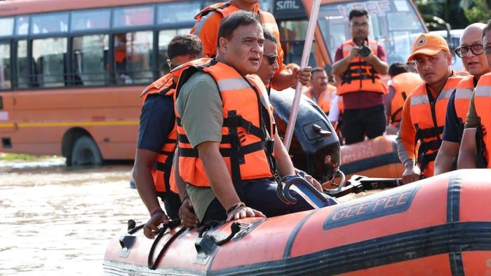
Assam Chief Minister Himanta Biswa Sarma on July 22 said the state government will conduct a detailed satellite-based assessment of the cloudburst reported in Nagaland's Mon district after the floodwaters recede to determine what triggered the devastating inflow of water into Assam.
- Jul 22, 2026,
- Updated Jul 22, 2026, 10:02 PM IST
Assam Chief Minister Himanta Biswa Sarma on July 22 said the state government will conduct a detailed satellite-based assessment of the cloudburst reported in Nagaland's Mon district after the floodwaters recede to determine what triggered the devastating inflow of water into Assam.
Responding to a question on whether Nagaland had shared information about the incident, Sarma said the neighbouring state had informed Assam that a cloudburst had occurred.
"They have said a cloudburst occurred, but what else happened along with it we will have to examine through satellite imagery. We also need to find out whether it was a one-time occurrence or something that could recur," the Chief Minister said.
He added that a comprehensive study of satellite maps would be carried out once the flood situation improves.
"After the floods recede, we will thoroughly study satellite maps to figure out what went wrong on the fateful day of the cloudburst in Nagaland and devise our strategies accordingly," Sarma said in a post on X.
The Chief Minister said the government would closely analyse satellite images of Mon district to understand the sequence of events and assess whether similar incidents could occur in the future.
The proposed study is expected to help the government formulate long-term flood mitigation and disaster preparedness strategies, particularly for downstream areas in Assam that are vulnerable to sudden inflows from neighbouring states during extreme weather events.