Beyond the Rain: The Real Causes of Upper Assam’s Devastating Floods
The devastating floods that submerged Upper Assam were not caused by rain alone. Failures in forecasting, watershed management, embankment design, drainage infrastructure and river maintenance amplified a natural hazard into a disaster that was, to a significant extent, preventable.
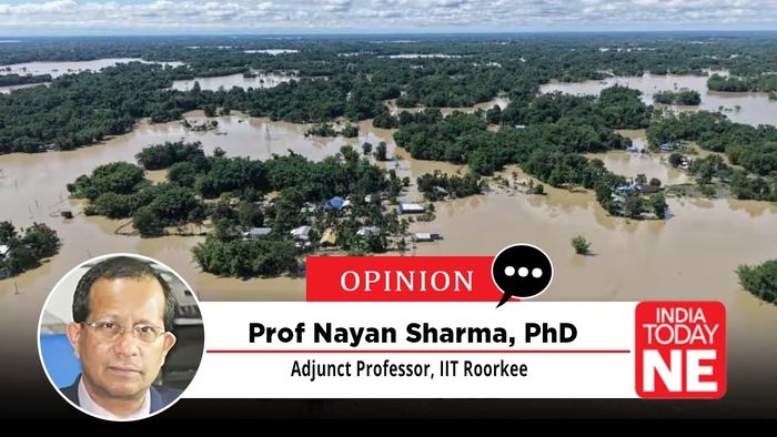
- Jul 24, 2026,
- Updated Jul 24, 2026, 5:32 PM IST
Every year, Assam braces for floods. Rivers swell, embankments come under pressure, villages are inundated and relief operations begin. The devastation is often described as an inevitable consequence of living in one of the world’s largest river basins. Yet the recent floods in Upper Assam suggest a more uncomfortable reality. While the intensity of rainfall was exceptional, much of the destruction was neither inevitable nor entirely natural. It was the outcome of years of neglect in forecasting, watershed management, river engineering and flood preparedness.
The first failure lay in forecasting. Modern satellite systems can detect atmospheric conditions that precede cloudbursts and intense localised rainfall. Artificial intelligence-driven forecasting models, coupled with high-resolution satellite imagery, can provide warnings several hours, and sometimes even days, in advance. India already possesses many of these capabilities through ISRO’s INSAT satellites and global precipitation monitoring systems. Yet these technologies remain inadequately integrated into local disaster management. Without timely and location-specific warnings, communities get little opportunity to prepare, evacuate or protect critical infrastructure before floodwaters arrive.
The second factor lies far upstream, beyond Assam’s borders. Large-scale deforestation in Nagaland has altered the hydrology of rivers flowing into Upper Assam. Forests that once absorbed rainfall and stabilised fragile hill slopes have steadily disappeared because of mining, agricultural clearing and other land-use changes. Their loss has accelerated runoff and sharply increased soil erosion. Vast quantities of sediment now flow downstream into rivers such as the Bhogdoi, reducing their carrying capacity and making floods more destructive even when rainfall remains within expected limits.
The problem is no longer confined to environmental degradation. It has become central to flood management. Upstream deforestation allows topsoil and mining waste to wash into river channels, raising riverbeds and worsening siltation. As carrying capacity declines, rivers overflow more easily, embankments come under greater pressure and downstream districts face a heightened risk of breaches and flash floods.
Climate variability has further complicated the situation. Weather over Northeast India is influenced by global climatic phenomena such as the El Niño-Southern Oscillation, the Indian Ocean Dipole and the Madden-Julian Oscillation. These systems are monitored internationally and can help identify periods of heightened flood risk weeks or even months in advance. Incorporating such climate intelligence into seasonal planning would allow authorities to inspect embankments, clear drainage channels and prepare emergency response systems before extreme rainfall occurs. Yet these tools remain underused in flood planning.
The floods also exposed serious weaknesses in Assam’s flood-control infrastructure. Embankments are designed not only to keep rivers out but also to allow accumulated rainwater within protected areas to escape. That requires properly designed drainage sluices placed according to local topography, natural drainage channels and catchment characteristics. In several affected areas, inadequate drainage trapped large volumes of water behind embankments, prolonging inundation even after river levels began to fall. Structures intended to provide protection instead became barriers to drainage.
Also Read: Why China’s mega dam at Yarlung Tsangpo Canyon is a threat to other countries
The repeated breaching of embankments was equally worrying. Conventional earthen embankments are increasingly inadequate in stretches exposed to powerful currents, overtopping and erosion. Modern flood engineering uses geosynthetics, reinforced soil, articulated concrete blocks and other forms of surface armouring to prevent scouring, internal piping and structural collapse. Vulnerable embankments in Upper Assam need such strengthening. Their repeated failure cannot be attributed only to the force of nature; it also reflects insufficient maintenance and delayed modernisation.
Many rivers have also lost their ability to carry floodwaters efficiently. Years of siltation, bank erosion and channel instability have narrowed waterways and reduced discharge capacity. The Bhogdoi has become heavily silted, while the highly circuitous Dikhow has shown continuing instability because of unabated bank erosion. Selective and scientifically planned channel improvement can increase flow capacity and reduce pressure on riverbanks.
Channelisation, however, must be undertaken carefully. Indiscriminate dredging or widening in one stretch can transfer the problem downstream. The objective should be targeted intervention using a combination of conventional engineering and environmentally sensitive technologies. Techniques such as submerged vanes and reinforced concrete jacks can help guide flows, control erosion and improve channel stability without relying entirely on recurrent mechanical dredging.
Climate change is likely to make extreme rainfall more frequent and intense across the eastern Himalayan region. But climate change alone cannot explain why similar rainfall events now cause such extensive destruction. Disasters occur when natural hazards encounter human vulnerability. Degraded watersheds, inadequate forecasting, ageing embankments, poorly placed sluices and silted river channels have steadily increased that vulnerability.
The lesson from Upper Assam is not that floods can be eliminated. They cannot. Rivers will always overflow in a monsoon-driven landscape. The challenge is to ensure that natural flooding does not repeatedly become a human catastrophe. The science and engineering solutions already exist. What has been missing is coordinated planning, sustained investment and the political will to act before, rather than after, the next flood arrives.